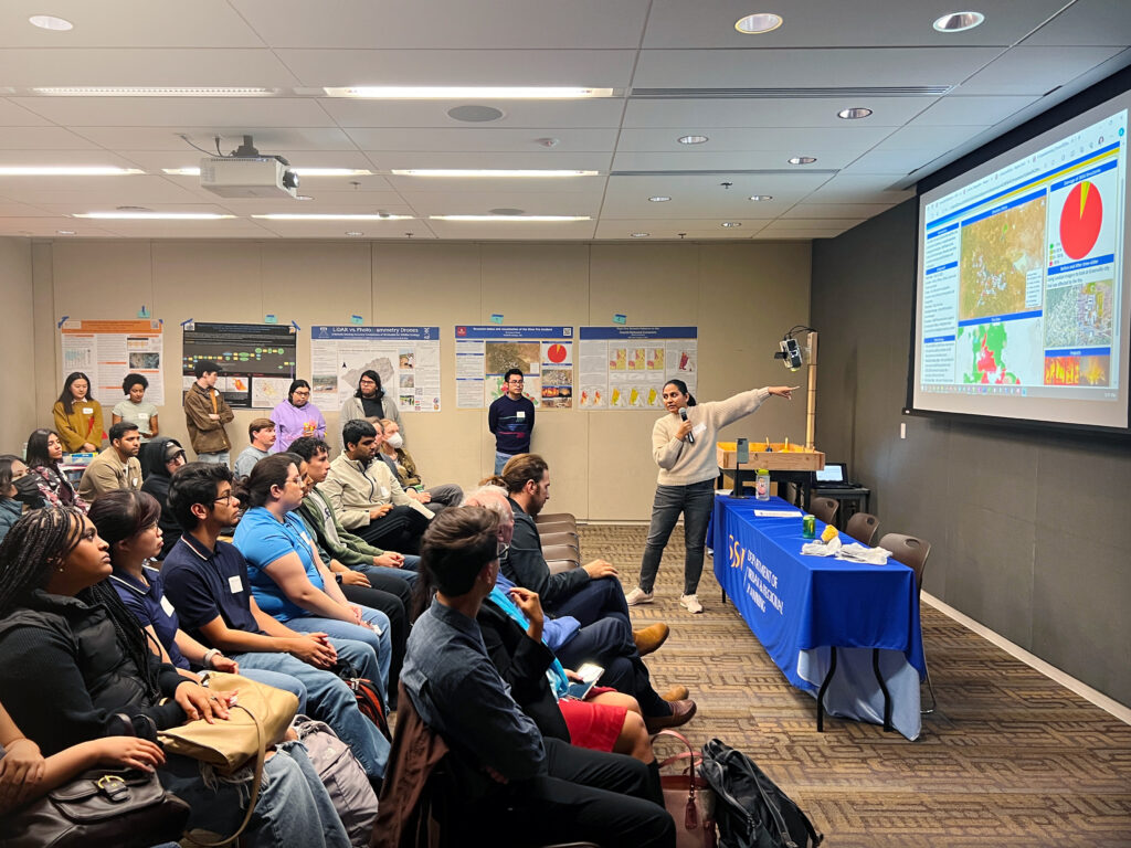
Data & Democracy Workshops
Data driven, location based decision making for increasing voter participation
Brought to you by PIT-UN Member San José State University and the Spatial Analytics and Visualization Institute (SAVI)
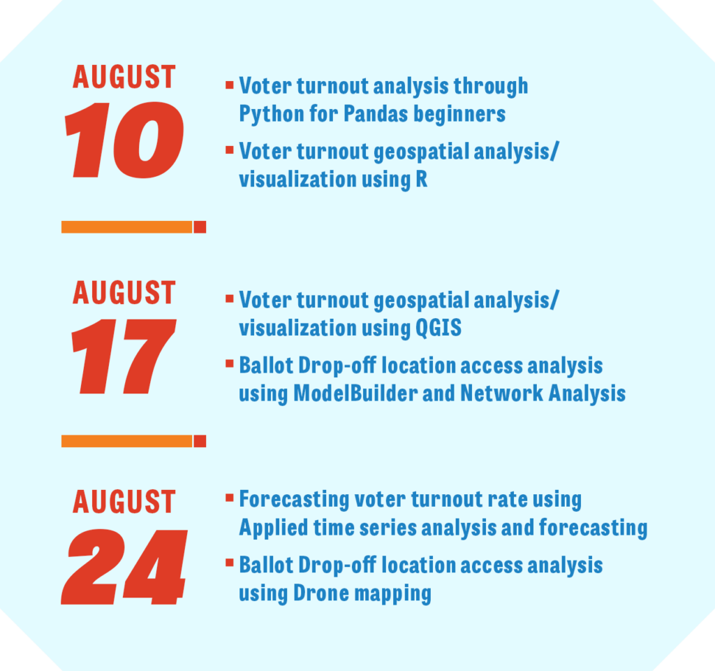
In today’s data-driven world, Geographic Information Science and Technology (GIST) is a vital tool for fostering voter turnout and strengthening democracy. The Data & Democracy Workshop Series, taking place August 2024, is designed to empower election officials, policy professionals, and researchers to undertake data-driven projects that bolster free and fair elections. Participants will explore how Python, R and open source GIST skills can unlock the power of data analysis and visualization in the design and administration of elections, defending democracy come November 2024 and beyond.
The workshops are now eligible Certification Maintenance credit from the American Institute of Certified Planners (AICP).
This workshop series is presented in collaboration with the Spatial Analytics and Visualization Institute (SAVI), an official SJSU Campus Institute in the California State University system. SAVI faculty who are programming Data & Democracy workshop series have extensive experience in design and delivery of effective educational curricula. Together, PIT-UN and SAVI aim to foster a broad and inclusive discussion on the role of GIST in defending democracy, transcending political boundaries for a collective impact.
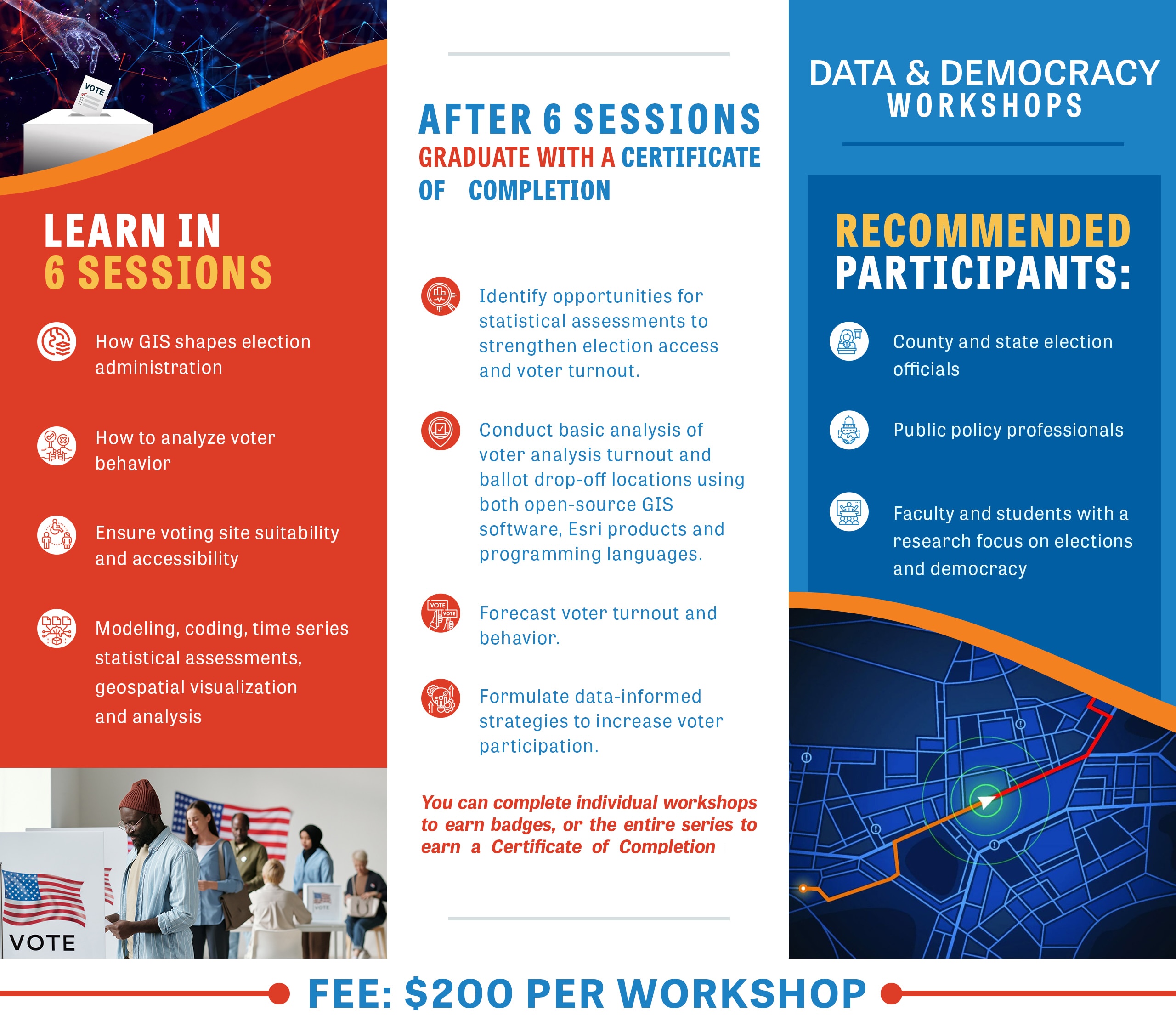
Virtual Workshop Schedule
Each three-hour workshop features a short lecture on conceptual and theoretical knowledge, followed by a lab session and an exercise. Plus, graduates can participate in GIS Day at San José State in November, 2024.

Voter Turnout Analysis with Python and Pandas (Beginner)
This workshop will guide participants through the development of a thorough and repeatable process for analyzing voter turnout using a variety of demographic elements. Using the open-source scripting language Python and the data analysis library Pandas, participants will integrate demographic data with voter turnout to compare and contrast an area’s demographic makeup with voter turnout. Such a tool will support efforts like gap analysis and the evaluation of voter turnout initiatives.
Taught By: Judi Heher
Judi is an educator and independent GIS consultant. She has developed online mapping applications focused on cultural outreach and non-profit VOAD/COAD organizations. She is also the Project Manager for the 2024 SAVI GISci 4 Democracy workshop and presentation series. Judi loves the combination of critical thinking and creativity GIS requires of those who tell data-related stories on a visual canvas. When Judi is not working, you can find her developing on-the-fly STEM curricula for young children, aka playing with her grandkids.
Voter Turnout Geospatial Analysis and Visualization Using R (Beginner)
This workshop will teach participants how to visualize and analyze patterns in voter participation using the open-source programming language R. Demos and hands-on exercises will draw upon real election and census data and use R packages, including the tidyverse, tidycensus, and sf. By the end of the workshop, participants will be able to import election and census data in R, summarize voter characteristics relative to the population baseline, and visualize the results as cross-tabulations, charts, maps, and simple descriptive stats.
Taught By: Andy Lyons
Andy works with the University of California as Program Coordinator for the Informatics and GIS Statewide Program within the Division of Agriculture and Natural Resources. In this role, he supports a wide range of GIS and data science projects in agriculture, natural resources, climate change adaptation, and decision support tools. He earned his Ph.D. at UC Berkeley in Environmental Science Policy and Management and has taught classes at UC Berkeley, Stanford, and UC Davis, including spatial analysis with open-source software, GIS, drone photogrammetry, environmental problem solving, population modeling, cryptography, African studies, social justice, and sustainability. Outside of work, Andy can often be found hiking around the hills of the Bay area.
Voter turnout geospatial analysis/visualization using QGIS (Beginner)
This workshop will explore GIS 4 Democracy using the free and open-source tool QGIS. QGIS is like a free and open democracy — it is accessible and inclusive! QGIS is similar in functionality to Esri’s ArcGIS Pro, is compatible with any computer, and does not require a license or subscription. Using QGIS, we will learn to visualize and analyze data and then make some beautiful maps to show our results.
Taught By: Cam Denney
Cam is a cartographer, spatial data scientist, and educator. Cam has applied GIS in the public, private, non-profit, international, and academic sectors in various roles. He works for the World Health Organization as a cartographer and leads international GIS training programs. Cam also teaches GIS workshops for the University of San Francisco and sits on the board of BayGeo, a non-profit organization promoting GIS training and education. Cam enjoys using cartography to transform data into visual stories. He has published maps about a variety of topics including housing policy, food insecurity, transportation, public health, roadkill, and pizza.
ModelBuilder & Network analysis for ballot drop box location suitability (Beginner)
Workshop attendees will acquire invaluable skills by employing network analyst for location analysis, honing their ability to assess accessibility to specific destinations. This GIS4Democracy workshop will uniquely leverage this methodology to optimize accessibility to ballot drop box locations, with the ultimate aim of bolstering voter turnout. Participants will learn to utilize network analyst tools effectively and gain insights into spatial analysis’s critical role in promoting democratic participation. By focusing on enhancing accessibility to vital civic resources, attendees will be equipped to make meaningful contributions to community engagement and democratic processes.
Taught by: Dr. Ahoura Zandiatashbar
10:00 am PST | Forecasting voter turnout using time series analysis (Beginner)
This workshop provides a foundational understanding of predictive modeling techniques in political science. Participants will be introduced to the fundamentals of time series analysis to anticipate voter behavior trends accurately. Through this interactive session and utilizing practical exercises, attendees will learn how to leverage historical data to forecast turnout rates for upcoming elections. Expert instructors will offer guidance on building basic forecasting models tailored to the dynamic nature of electoral processes. By the conclusion of this workshop, attendees will have acquired essential skills to initiate informed predictions crucial for political campaigns and policy decisions.
Taught by: Dr. Tahereh Granpayeh
Assessing the Accessibility of Ballot Drop Box Locations using Raster Data (Beginner)
This workshop provides participants the opportunity to assess ballot drop box locations using a geospatial analysis platform. Attendees will be introduced to the concepts of raster data, data observation/recording, and weighted analyses. Through this workshop, attendees will learn how to import and inspect raster data, visually quantify and record various accessibility features, and generate an Accessibility Index for each ballot drop box location, which can provide valuable insight into potential voter turnout. By the end of this workshop, participants will have gained the skill sets needed to perform accessibility analyses using a variety of raster data sources, allowing for the improvement of voter accessibility options.
Taught by: Owen Hussey
Owen is an MA Geography student at San José State University. In addition to his academic coursework, he has had the pleasure of serving as a Teaching Assistant for several geography and GIS classes. He also helped facilitate multiple drone piloting and licensing workshops. Something Owne enjoys in his spare time is collecting vinyl records, both old and new!“
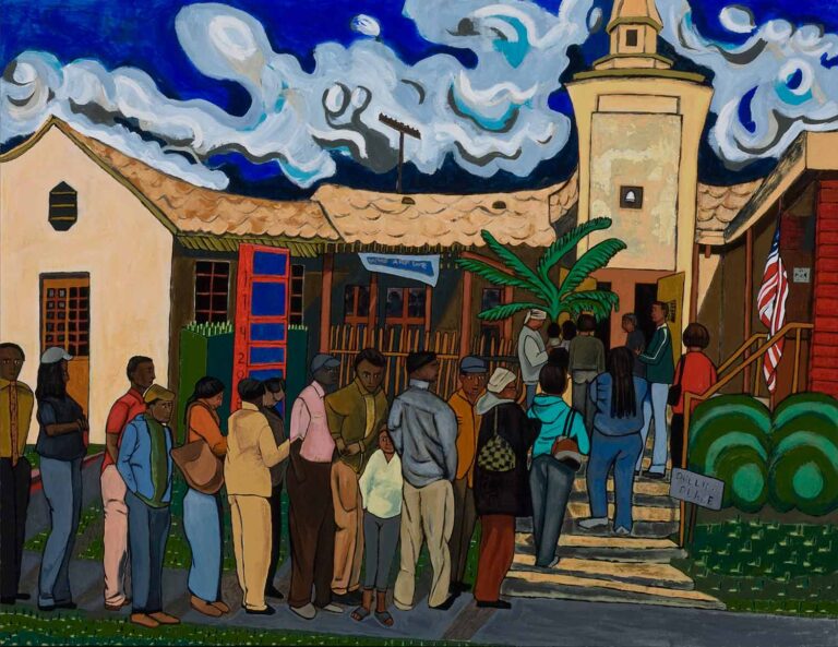
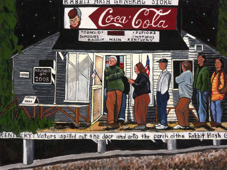
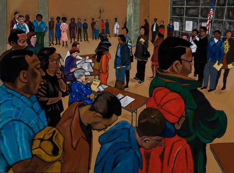
Voting Series paintings by Myra Eastman
Opportunity to Present Final Projects
Participants who complete the series will have the opportunity to present final projects at a special event in November, 2024 at San José State University.
SAVI’s annual GIS Day is a comprehensive gathering that includes an expert panel, a student poster competition, a GIS technologies demo, and the unveiling of new advances. Registration opens in early August.
